History
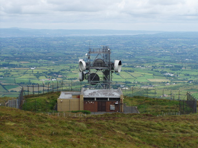
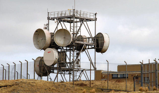
Slieve Croob is understood to have been developed in the early 1980s as part of a new route from Belfast to the UK main network. As with most other sites in Northern Ireland it was omitted from the BT map of microwave stations. The tower is a "Type 8A" and the building is of the older standard pattern.
Maps of the 1980s network show Slieve Croob as a "flexibility point" with routes via the Isle of Man and towards Dublin via Deadmans Hill. The link to Belfast allowed access to the old SHF link via Ballygomartin towards Scotland. The link from Bishops Court operated only for a short time as the radar station closed during the 1980s.
With only three sections this was one of the shorter structures in the BT network - three other towers on Slieve Croob are somewhat taller. The large dishes have now been removed but the site still carries numerous links for BT and other operators and is apparently used for rigger training.