History
Wideford Hill is one of the earliest sites in the PO/BT network, originally providing a telephony link to Thrumster (via Olrig Hill). It appears on the 1959 Network Map as "Kirkwall" - an earlier VHF radio site providing links to Thurso, Sanday and Stronsay since the 1940s was also known by that name.
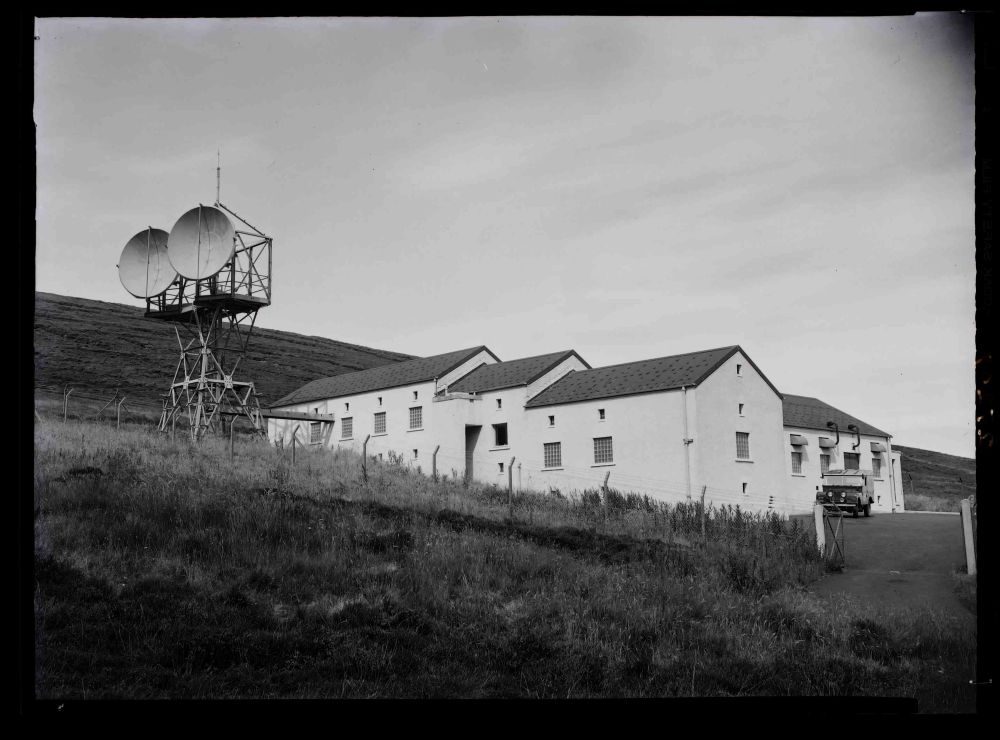
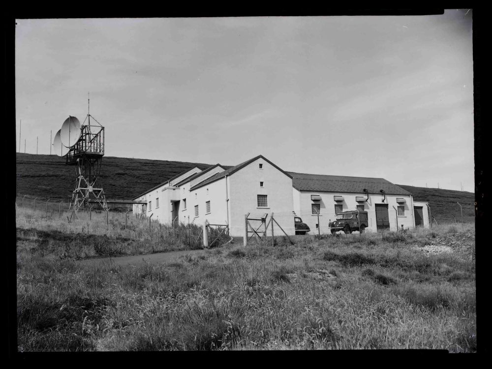
BT Archives has technical papers discussing the performance of the Braewynner to Thrumster and Thrumster to Wideford Hill links. The original SHF site comprised a short tower carrying two dishes facing Olrig Hill and a T-shaped building on sloping ground, separate from the earlier VHF site. A 1965 OS plan at 1:2500 scale shows the site as "WT Station" and several other "masts" on the hill to the north and west.
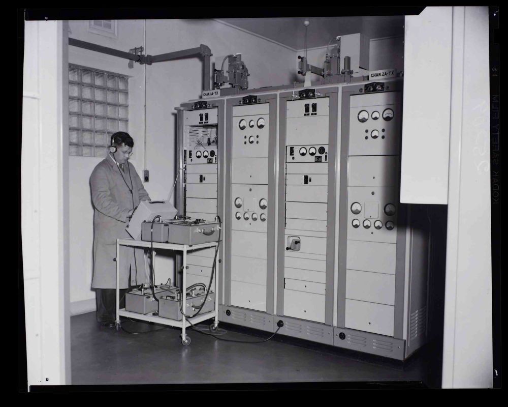
The 1950s installation was part of the "Northern Radio Scheme" and intially other SHF links were planned however these were subsequently provided (or retained) at VHF. The Engineer in Chief's Annual Report for the year ended March 1957 notes the installation of two 30 kW standby power plants at Wideford Hill. STC RL4B equipment, given Post Office designation RS 10/3 was used and provided 240 telephony channels. The system was duplicated however no "diversity" provision was made since the reflected signal from the sea was not expected to be a problem - possibly a reason for the site being on the slope rather than at the top of the hill.
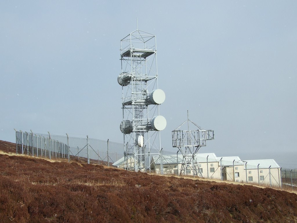
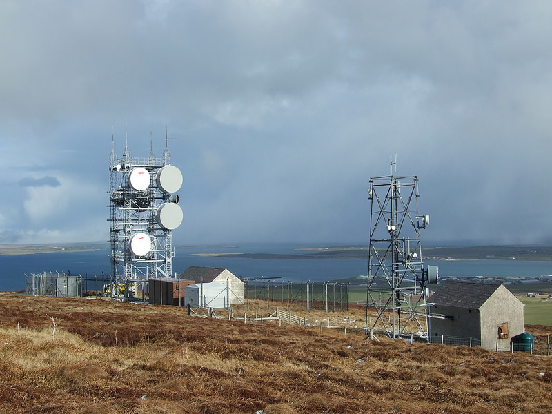
Subsequent development appears to have occured in three stages. The "Highlands & Islands" Scheme was planned in the late 1960s with a 24-channel link to Stronsay but implemented in the early 1970s with STC 4 GHz RL4K equipment providing 300 channels. This is assumed to be the reason for the "Type 4A" tower alongside the original building. It is likely this upgrade also provided an SHF link to Sanday.
In the mid-1970s a new link was required between the troposcatter stations at Scousburgh and Mormond Hill, providing off-shore communications to the oil industry. At this stage it seems a separate site was established around 300 m to the north, this time with a "Type 7A" tower allowing increased capacity. This link is assumed to have been routed north via Sanday, where another structure was added.
Wideford Hill continues to provide links to Orkney and Shetland - Ofcom data shows two distinct routes at 6 GHz which use the separate structures for resilience. These arrangements probably date from around 2000 when the 4 GHz band was cleared. Some local linking is also provided at 18 GHz.
Recent photos show the buildings largely unchanged and the original 1950s tower was still in place in 2012, though empty.