History
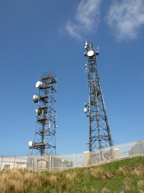
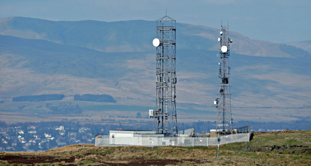
Scroggy Bank was one of the first sites in the Highlands and Islands scheme and provided links to Dunoon and Rothesay at 4 GHz. The tower is of the "Type 4A" design introduced for the H&I scheme but the building appears to be of the standard pattern for an SHF station rather than the smaller type used at most of the H&I sites.
The link to Greenock is slightly speculative: Greenock is not on a Post Office list of sites from the 1970s but is on a 1980s list. In the mid-1980s it appears Scroggy Bank may have been used as part of a new 11 GHz route from Inverness via Mull, possibly connecting to Greenock. As a result additional antennas at Scroggy Bank would have been added, facing the new site at Loch Fyne.
The 4 GHz links were migrated to 6 GHz around 2000 and Ofcom data suggests they still operate to Dunoon and Rothesay, together with a number of short-range links on higher bands. (There is no current link to Greenock.)