History
Olrig Hill is shown on the 1959 Network Map as an intermediate site on the "existing or under construction" route from Thrumster to Wideford Hill. Along with Braewynner to Thrumster this was one of the first SHF telephony links. The SHF site is adjacent to an earlier facility which provided VHF point-to-point links with Orkney over the same path but with the sites known as "Thurso" and "Kirkwall" rather than Olrig Hill and Wideford Hill respectively. group of dots labelled "masts" is shown on the 1967 OS plan - these would have been telegraph poles supporting wire antennas.
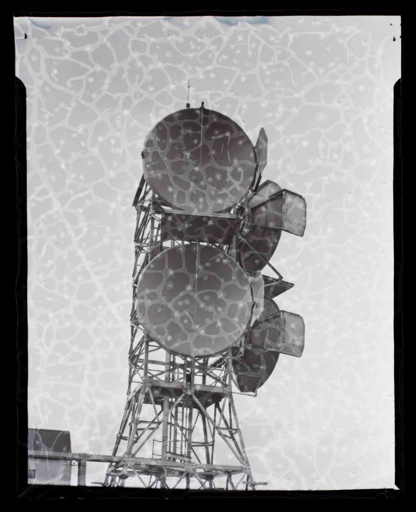
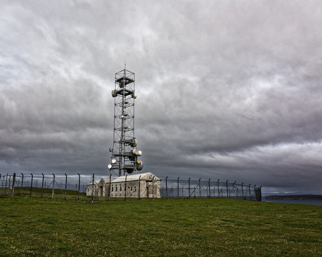
The initial SHF installation consisted of pairs of dishes on a short tower and reports on the performance of the installation mention the addition of metal plates to improve isolation between the two paths. As of the 1967 map there were two linked buildings with the tower near the north east corner of the compound. The "Highlands and Islands" scheme was planned in the 1960s with a new 24-circuit 4 GHz link to Kirtomy which involved addition of a tall version of the "Type 4A" tower (in the north west corner of the compound). Later OS plans show the building has also been extended over the years.
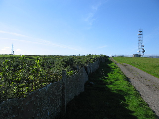
The Braewynner to Thrumster link closed in 1978 and it is likely the continuation via Olrig Hill would have been "retired" or re-equipped around this time. By 2007 large dishes had been added facing Wideford Hill and current Ofcom data shows 6 GHz links via Kirtomy and Wideford Hill. The link via Thrumster is no longer in service.