Butser Hill

Page last updated: 14/8/2018

This page requires updating

The information shown may be incomplete or inaccurate.

Site CodeEstablishedClosedNGRMap LinksGeograph
YBTH1965SU715202Google Maps Bing MapsPhotos

Related Routes

History

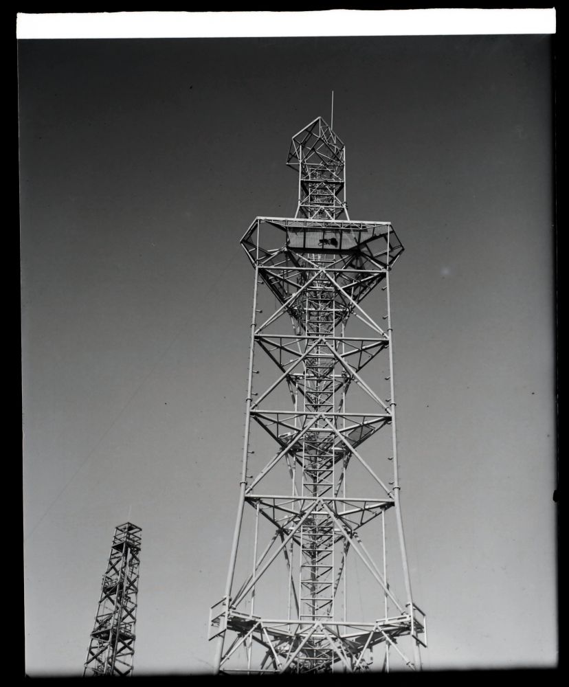
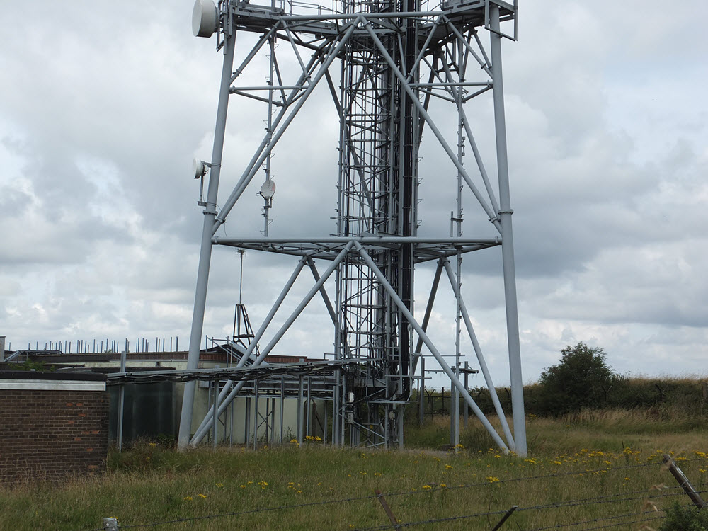
Butser Hill is an early example of a "takover site" - by the early 1960s the site was used for a microwave link between the radar station at Ventnor and the London Air Traffic Control (Heathrow, later West Drayton). This was itself appears to be successor to an earlier facility as documents in the CPRE archive suggest a "mast" was present by the early 1950s. A T-shaped building appears on the 1962 OS map, just west of the Post Office site. BT Archives has a sketch (see below) showing a version of the "standard tower" and an unusually large building. In practice a one-off tower design was adopted - a triangular structure constructed from steel tube. Some features are similar to the much later "Type 8A" tower. It appears the intention was to consolidate all dishes onto the Post Office structure and remove the existing tower(s). Photos showing progress as of 1965 show at two other structures with one dish for the radar link mounted on the roof of the existing building.

The "new" tower was designed primarily to carry two horns (of the "large" type) facing Bagshot and another two ("small") facing Thornhill, forming part of a new route between London and Southampton. The initial traffic was television feeds, replacing the earlier link via Golden Pot and to 625-line colour standard. Provision was also made for one dish facing Ventnor and another to Stone Hill (near Farnham) for the radar link. Due to delays at Bagshot it appears a temporary link via Golden Pot and Stokenchurch may have been used to allow BBC2 to launch from the Rowridge transmitter in July 1967. The OS plan dated 1967-70 shows the new tower and two others labelled "wireless mast" which are assumed to be those in the 1965 and 1867 photos below. These structures were dismantled on final completion of the Post Office site.

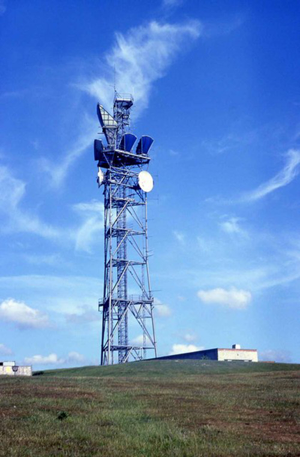
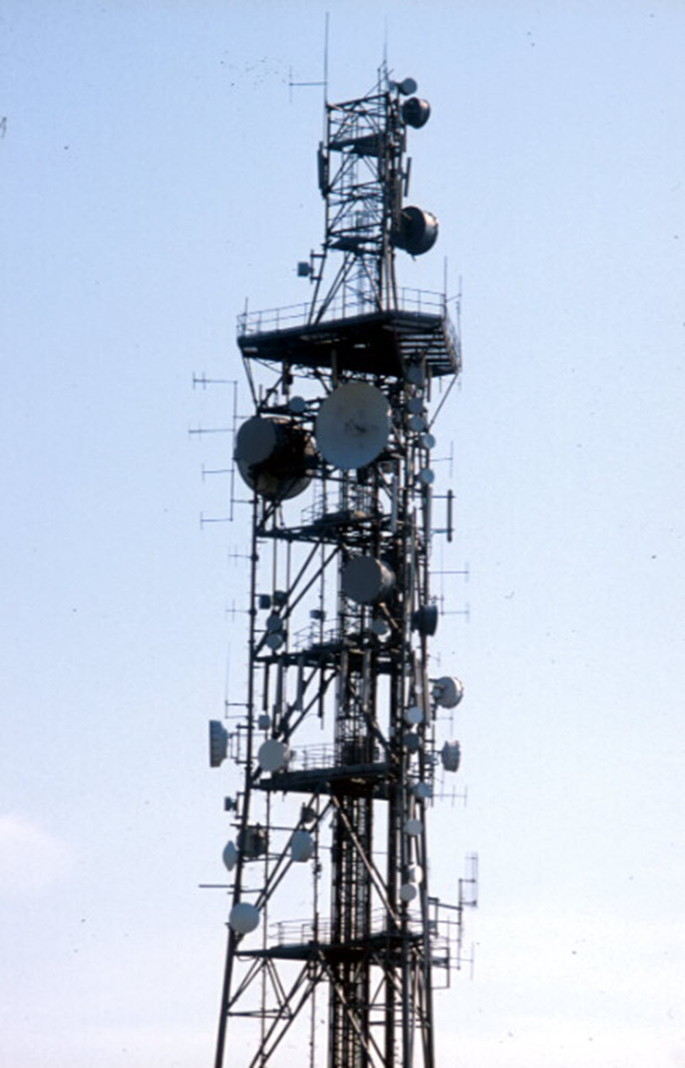
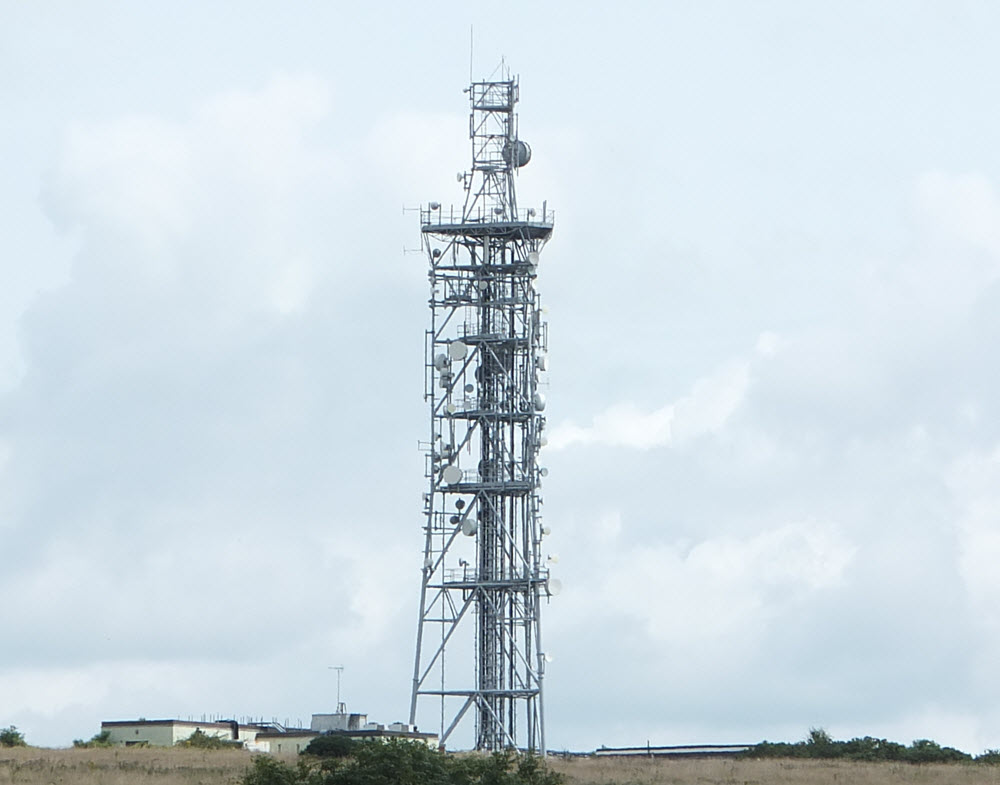
Traffic to Southampton was constrained by the section between London and Bagshot which was shared with the Bristol route. Images from 1984 show the addition of two dishes, of 1970s style, plus the exchange of one large horn for a dish, but do not support the development of a new route which is understood to have been planned to run via Goodwood, eventually reaching London from the south, via Tatsfield. It may be the new link was eventually equipped on a limited basis but the Goodwood site was not developed on the scale originally proposed. By 1999 only the two 70s-style dishes remained - any digital links installed in the 1980s appear to have used relatively small dishes, or had already been removed.

Photos

1962

Butser Hill - Sketch 1962

Copyright BT Heritage [TCB417/E 27956]

Initial plans were for a "Standard Tower" - the building appears to be a combination of existing and new (left hand section) but in practice the two buildings were separated, with the tower between.

1965

Butser Hill 1965

Copyright BT Heritage [TCB417/E 31489]

Viewed from the south, the "partially completed" tower - although it appears essentially finished in this November 1965 image. The new Post Office building is on the right. On the left one dish for the radar link is mounted on the roof of the original building and the other is on what appears to be a temporary structure. There are also two smaller dishes, possibly for the temporary BBC2 link running from Golden Pot to Thornhill.

Butser Hill 1965

Copyright BT Heritage [TCB417/E 31491]

Probably from the south east: an older "Air Ministry" type tower is visible in the background. The mountings for the radar link dishes are at the bottom of the image, on the corners of the main structure, facing Ventnor (left) and Stone Hill (right).

1967

Butser Hill 1967

Copyright BT Heritage [TCB417/E 35338]

A detailed view of the base - the two other towers are still in place, with the dish facing Ventnor still on the roof of the building...

1971

Butser Hill 1971

Copyright BT Heritage [TCB417/E 56613]

...where it seems to have remained. The tower otherwise carries the intended configuration of horns for the Post Office and dish for the radar link.

1984

Butser Hill 1984

Copyright Barry Shimmon (Geograph)

Viewed from the north west. One of the horns facing Bagshot has given way to a dish of the later type and there are dishes of 1970s style facing Bagsgot and Thornhill. The radar dish has been removed, leaving an empty mounting on the left. The development of "plot extraction" allowed low bandwidth links to be used for remote radar sites by this stage. There is no trace of any new link towards Goodwood (although this would be on the opposite side of the tower).

1999

Butser Hill 1999

Copyright Patrick Gueulle (Geograph)

Assumed to be from the south. The top of the structure has been modified. The two older dishes remain but new links may have been added using the smaller type to the left and below the large dish facing the camera.

2016

Butser Hill 2016

Copyright Dan Glover

Butser Hill 2016

Copyright Dan Glover

Butser Hill 2016

Copyright Dan Glover